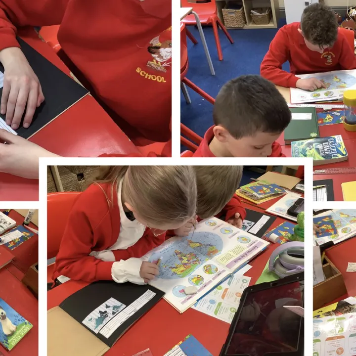
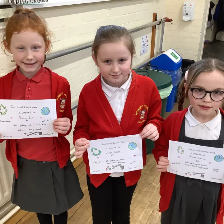
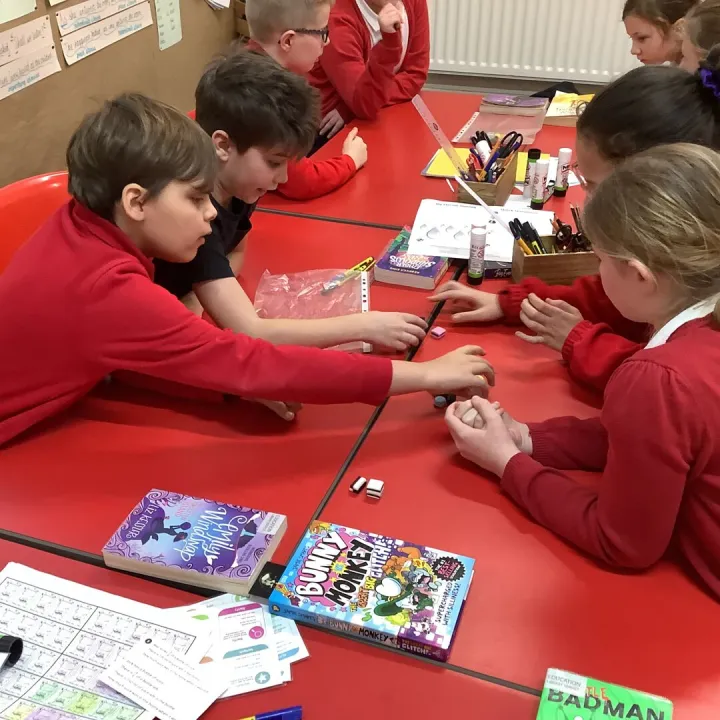
Yesterday, our whole school enjoyed a special Geography-themed assembly because this week marks GIS Day – a global event that celebrates the amazing world of Geographic Information Systems. GIS is the clever technology that helps people make and use maps to understand our planet better.
During the assembly, the children discovered what GIS is and why it matters. They learnt that GIS helps us explore where things are, how places change over time, and how people, animals, and the environment are connected. We looked at colourful maps, thought about how we navigate our daily lives, and even explored how scientists use GIS to track wildlife, plan safe routes, and study weather patterns.
The children also enjoyed some interactive activities and quiz questions, helping them think about how maps work, what different map symbols mean, and how GIS technology is used all over the world — including in apps they use every day!
GIS Day was a wonderful opportunity to inspire curiosity, build geographical understanding, and encourage our pupils to explore the world around them.
Happy GIS Day!
We hope the children continue to enjoy discovering more about our amazing world.
Contact Us
admin@wrenbury.cheshire.sch.uk
01270 260656
Wrenbury Primary School
Nantwich Rd
Wrenbury, Nantwich
Cheshire
CW5 8EN


