
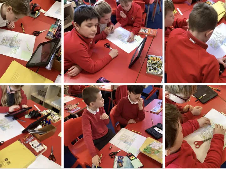
This week, Base 4 stepped into the shoes of real geographers as we explored the beautiful county of Northumberland using two different types of maps. The children worked with both a large regional map and a detailed Ordnance Survey map of Holy Island, comparing how each one tells us different things about a place.
Using their map-reading skills, the children identified key physical features such as hills, rivers, coastlines and tidal flats, as well as important human features including towns, roads and the famous causeway that leads to Holy Island. The class also discussed how the landscape and land use of Northumberland have changed over time, linking this to our wider learning about the region’s rich history.

Contact Us
admin@wrenbury.cheshire.sch.uk
01270 260656
Wrenbury Primary School
Nantwich Rd
Wrenbury, Nantwich
Cheshire
CW5 8EN